Resources About the Cayuga Lake Watershed
What is a Watershed?
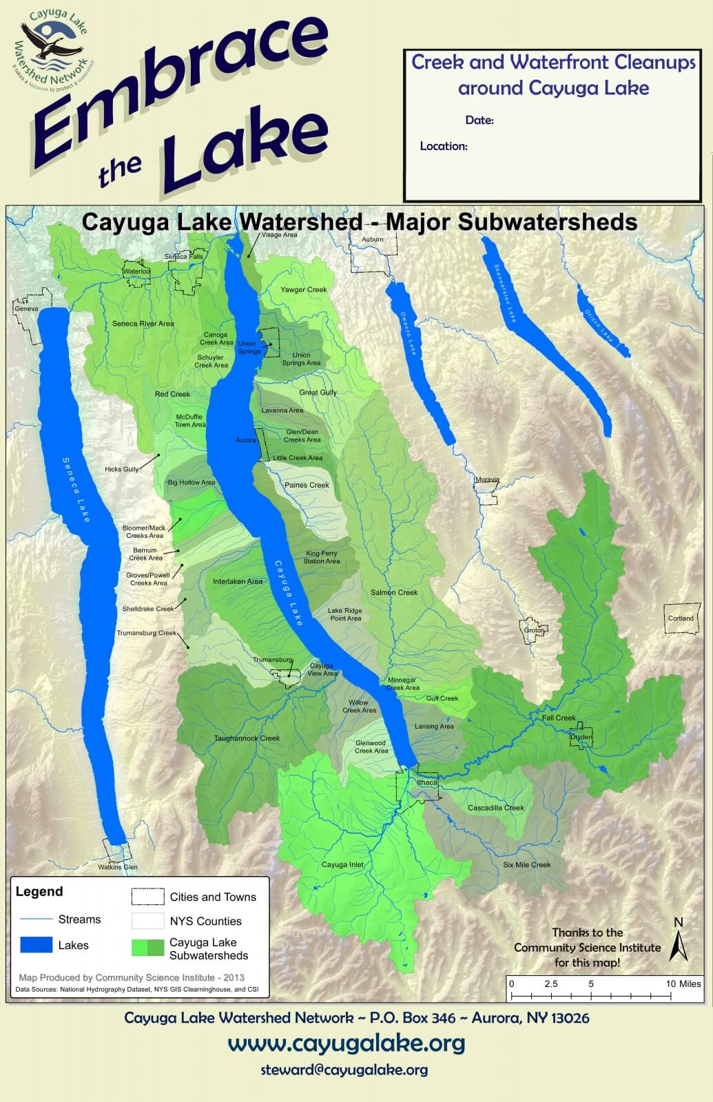
A watershed is an area of land where water from streams, springs, and wetlands all flow to a common larger body of water, such as Cayuga Lake. The Cayuga Lake Watershed Covers nearly 860 square miles, includes 44 municipalities, and is spread over 7 counties. Click on map to enlarge, or click here for a downloadable version.
Thanks to our friends at the Community Science Institute for this beautiful map.
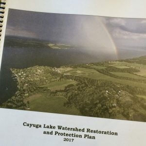
Restoration & Protection Plan
The 2017 goals of the Cayuga Lake Watershed Restoration and Protection Plan (RPP): To inspire, to prioritize actions and strategies, and to bring about legislative change vital to protecting and preserving Cayuga Lake and its watershed.
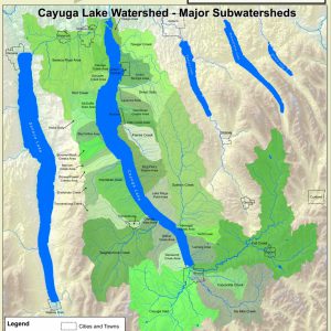
Watershed Maps
A beautiful full color map of Cayuga Lake, all the creeks that drain to it, and several neighboring Finger Lakes (by Matt Yarrow). And, a map of the watershed in its physical setting, with few words and no boundaries (by Karen Edelstein).
Wetlands Mapping Project
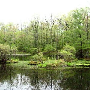
Like sponges, wetlands soak up and store the stormwater from rainstorms and melting snow. This protects downstream lands from flooding, and recharges groundwater. Stormwater is released gradually, slowing water’s erosive power.
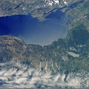
The Finger Lakes & Great Lakes Basins
The Cayuga Lake Watershed and our Finger Lakes neighbors are part of the Great Lakes headwaters. We have a responsibility to ourselves as residents and to everyone downstream to protect our lands and waters for generations to come.